Soubor:Armenia adm location map.svg

Původní soubor (soubor SVG, nominální rozměr: 1 169 × 1 198 pixelů, velikost souboru: 146 KB)
| Tento soubor pochází z Wikimedia Commons. Níže jsou zobrazeny informace, které obsahuje jeho tamější stránka s popisem souboru. |
Popis
| Popis |
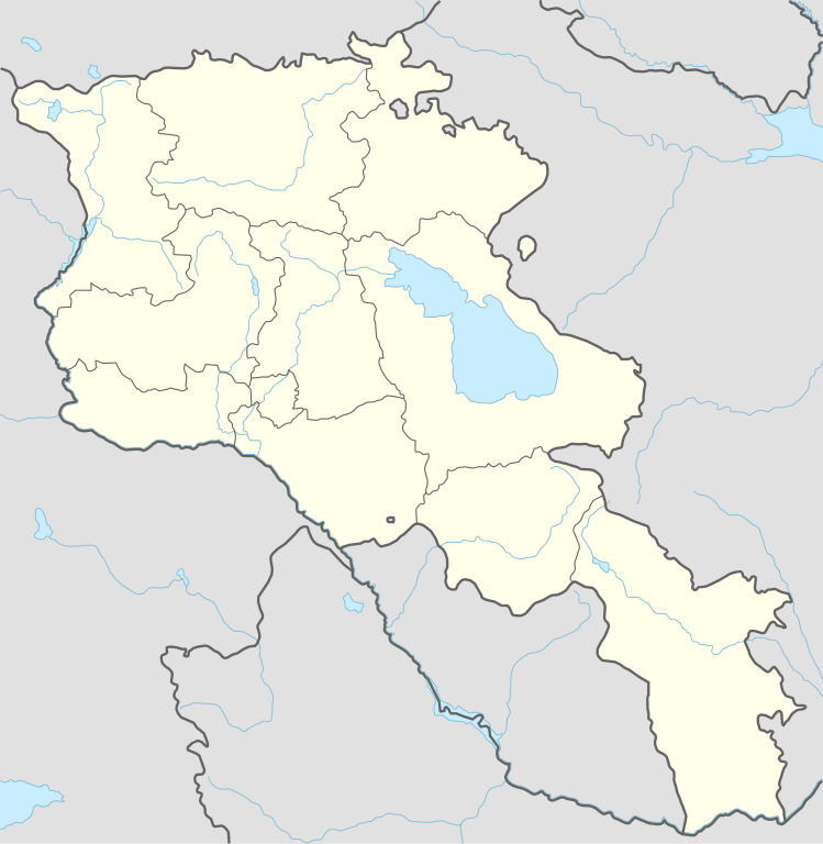
Deutsch: Positionskarte von Armenien
English: Location map of Armenia
|
||||||||||||
| Datum | |||||||||||||
| Zdroj |
Vlastní dílo pomocí:
|
||||||||||||
| Autor | NordNordWest | ||||||||||||

|
Tato mapa byla vytvořena nebo vylepšena v německé Kartenwerkstatt (Mapová laboratoř). Můžete také navrhnout mapy k vylepšení.
|
Licence
Usage of this file with:

explanatory notes: Legally binding is only the full legalcode. For a free usage I recommend to respect the following licence conditions:
1. Provide my name as given above: NordNordWest,
2. a copy of, or the URI for, the applicable license: https://creativecommons.org/licenses/by-sa/3.0/de/legalcode,
3. the title of the work,
4. in the case of an adaptation, a credit identifying the use of the work in the adaptation.
This license and the rights granted hereunder will terminate automatically upon any breach by you of the terms of this license. Any of the above conditions can be waived if you get permission from the copyright holder. If you have questions or wish differing conditions, please contact me through nnwest or my discussion page ![]() t-online.de
t-online.de
- Dílo smíte:
- šířit – kopírovat, distribuovat a sdělovat veřejnosti
- upravovat – pozměňovat, doplňovat, využívat celé nebo částečně v jiných dílech
- Za těchto podmínek:
- uveďte autora – Máte povinnost uvést autorství, poskytnout odkaz na licenci a uvést, pokud jste provedli změny. Toho můžete docílit jakýmkoli rozumným způsobem, avšak ne způsobem naznačujícím, že by poskytovatel licence schvaloval nebo podporoval vás nebo vaše užití díla.
- zachovejte licenci – Pokud tento materiál jakkoliv upravíte, přepracujete nebo použijete ve svém díle, musíte své příspěvky šířit pod stejnou nebo slučitelnou licencí jako originál.

Historie souboru
Kliknutím na datum a čas se zobrazí tehdejší verze souboru.
| Datum a čas | Náhled | Rozměry | Uživatel | Komentář | |
|---|---|---|---|---|---|
| současná | 20. 11. 2023, 20:36 | | 1 169 × 1 198 (146 KB) | NordNordWest | back to original size |
| 20. 11. 2023, 12:34 |  | 512 × 524 (130 KB) | Toghrul R | updated | |
| 20. 1. 2023, 11:32 |  | 1 169 × 1 198 (152 KB) | Golden | updating NK borders - no control in the south, removing old Lachin corridor | |
| 14. 11. 2020, 19:06 |  | 1 169 × 1 198 (150 KB) | NordNordWest | . | |
| 21. 10. 2014, 22:58 |  | 1 169 × 1 198 (161 KB) | NordNordWest | == {{int:filedesc}} == {{Information |Description= {{de|1=Positionskarte von Armenien}} {{en|1=Location map of Armenia}} {{Location map series N |stretching=130 |top=41.4 |bottom=38.8 |left=43.4 |right=46.7 }} |Source={{Own using}} * United States Nati... |
Využití souboru
Tento soubor používá následujících 52 stránek:
- Abovjan
- Alaverdi
- Aparan
- Ararat (město v Arménii)
- Areni
- Arin (Arménie)
- Armavir (město v Arménii)
- Artavan
- Artašat
- Artik
- Azatek
- Aštarak
- Bardzruni
- Cachkadzor
- Chrám svaté Ripsime
- Dilidžan
- Džermuk
- Erebuni
- Garni
- Gavaṙ
- Getikvank
- Gjumri
- Gomk
- Goris
- Herher
- Hrazdan (město)
- Idževan
- Jeghegnadzor
- Jeghvard
- Kadžaran
- Kapan
- Karmrašen (Vajoc Dzor)
- Khndzorut (Vajoc Dzor)
- Martuni
- Masis
- Mecamor
- Meghradzor
- Meghri
- Modrá mešita (Jerevan)
- Sevan (město)
- Sisian
- Spitak
- Stepanavan
- Talin (město)
- Tašir
- Vagharšapat
- Vardenis
- Vedi (město)
- Zemětřesení v Arménii 1988
- Čambarak
- Čarencavan
- Šablona:LocMap Arménie
Globální využití souboru
Tento soubor využívají následující wiki:
- Využití na af.wikipedia.org
- Využití na als.wikipedia.org
- Využití na an.wikipedia.org
- Využití na ar.wikipedia.org
- Využití na ast.wikipedia.org
- Yeghipatrush
- Yereván
- Castiellu d'Erebuni
- Fortaleza d'Ertij
- Fortaleza de Kosh
- Lori Berd
- Ciudadela d'Horom
- Castiellu de Bjni
- Vorotnaberd
- Fortaleza Ajtala
- Amberd
- Baghaberd
- Castiellu de Yereván
- Berdkunk
- Fortaleza Berdavan
- Fortaleza Berdkunk
- Proshaberd
- Fortaleza Dashtadem
- Kakavaberd
- Fortaleza Halidzor
- Karmir Blur
- Sardari Berd
- Sev Berd
- Smbataberd
- Fuerte Tavush
- Teishebaini
- Yergevanits
- Ushiberd
- Tsitsernakaberd
- Echmiadzin
- Yerevandashat (ciudá antigua)
- Dvin
- Hnaberd (Aragatsotn)
- Argishtikhinili
- Fortaleza de Meghri
- Armavir (ciudá antigua)
- Módulu:Mapa de llocalización/datos/Armenia
- Módulu:Mapa de llocalización/datos/Armenia/usu
- Guiumri
- Bancu Central d'Armenia
- Yeghegnadzor
Zobrazit další globální využití tohoto souboru.