Soubor:South Sudan adm location map.svg

Původní soubor (soubor SVG, nominální rozměr: 1 561 × 1 133 pixelů, velikost souboru: 201 KB)
| Tento soubor pochází z Wikimedia Commons. Níže jsou zobrazeny informace, které obsahuje jeho tamější stránka s popisem souboru. |
Popis
| Popis |
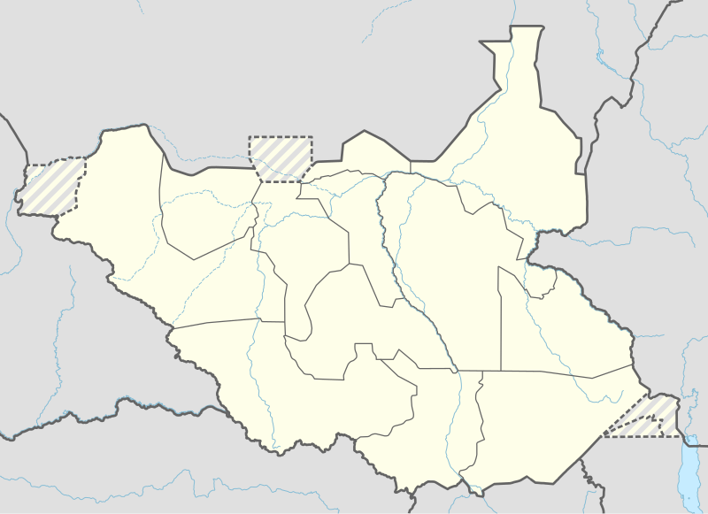
Deutsch: Positionskarte von Südsudan
English: Location map of South Sudan
|
||||||||||||
| Datum | |||||||||||||
| Zdroj |
Vlastní dílo pomocí:
|
||||||||||||
| Autor | NordNordWest | ||||||||||||
| Další verze |
|
||||||||||||
_adm_location_map.svg)
_adm_location_map.svg)


|
Tato mapa byla vytvořena nebo vylepšena v německé Kartenwerkstatt (Mapová laboratoř). Můžete také navrhnout mapy k vylepšení.
|
Licence
Usage of this file with:

explanatory notes: Legally binding is only the full legalcode. For a free usage I recommend to respect the following licence conditions:
1. Provide my name as given above: NordNordWest,
2. a copy of, or the URI for, the applicable license: https://creativecommons.org/licenses/by-sa/3.0/de/legalcode,
3. the title of the work,
4. in the case of an adaptation, a credit identifying the use of the work in the adaptation.
This license and the rights granted hereunder will terminate automatically upon any breach by you of the terms of this license. Any of the above conditions can be waived if you get permission from the copyright holder. If you have questions or wish differing conditions, please contact me through nnwest or my discussion page ![]() t-online.de
t-online.de
- Dílo smíte:
- šířit – kopírovat, distribuovat a sdělovat veřejnosti
- upravovat – pozměňovat, doplňovat, využívat celé nebo částečně v jiných dílech
- Za těchto podmínek:
- uveďte autora – Máte povinnost uvést autorství, poskytnout odkaz na licenci a uvést, pokud jste provedli změny. Toho můžete docílit jakýmkoli rozumným způsobem, avšak ne způsobem naznačujícím, že by poskytovatel licence schvaloval nebo podporoval vás nebo vaše užití díla.
- zachovejte licenci – Pokud tento materiál jakkoliv upravíte, přepracujete nebo použijete ve svém díle, musíte své příspěvky šířit pod stejnou nebo slučitelnou licencí jako originál.

Historie souboru
Kliknutím na datum a čas se zobrazí tehdejší verze souboru.
| Datum a čas | Náhled | Rozměry | Uživatel | Komentář | |
|---|---|---|---|---|---|
| současná | 23. 4. 2020, 20:25 | | 1 561 × 1 133 (201 KB) | Leviavery | Added Pibor and Ruweng Administrative Areas |
| 25. 2. 2020, 18:16 |  | 1 561 × 1 133 (199 KB) | Myrabert01 | Reverted to version as of 13:47, 25 February 2020 (UTC) South Sudan revert back to 10 States. https://www.aljazeera.com/news/2020/02/6-years-war-peace-finally-south-sudan-200223114919537.html | |
| 25. 2. 2020, 16:39 |  | 1 561 × 1 133 (213 KB) | NordNordWest | Reverted to version as of 14:39, 13 August 2016 (UTC); no reason for this revert | |
| 25. 2. 2020, 15:47 |  | 1 561 × 1 133 (199 KB) | Myrabert01 | Reverted to version as of 18:18, 12 November 2014 (UTC). South Sudan revert back to 10 States. | |
| 13. 8. 2016, 16:39 |  | 1 561 × 1 133 (213 KB) | NordNordWest | corr | |
| 12. 8. 2016, 14:31 |  | 1 561 × 1 133 (214 KB) | NordNordWest | upd, new states | |
| 12. 11. 2014, 20:18 |  | 1 561 × 1 133 (199 KB) | NordNordWest | == {{int:filedesc}} == {{Information |Description= {{de|1=Positionskarte von Südsudan}} {{en|1=Location map of South Sudan}} {{Location map series N |stretching=101 |top=12.7 |bottom=3.2 |left=23.15 |right=36.4 }} |Source={{Own using}} * United States... |
Využití souboru
Tento soubor používá následujících 11 stránek:
Globální využití souboru
Tento soubor využívají následující wiki:
- Využití na ab.wikipedia.org
- Využití na af.wikipedia.org
- Využití na an.wikipedia.org
- Využití na av.wikipedia.org
- Využití na azb.wikipedia.org
- Využití na az.wikipedia.org
- Využití na be.wikipedia.org
- Využití na bg.wikipedia.org
- Využití na bn.wikipedia.org
- Využití na bs.wikipedia.org
- Využití na ceb.wikipedia.org
Zobrazit další globální využití tohoto souboru.