Soubor:Operational Navigation Chart A-5, 3rd edition.jpg

Velikost tohoto náhledu: 800 × 572 pixelů. Jiná rozlišení: 320 × 229 pixelů | 640 × 457 pixelů | 1 024 × 732 pixelů | 1 280 × 915 pixelů | 2 560 × 1 829 pixelů | 9 254 × 6 613 pixelů.
Původní soubor (9 254 × 6 613 pixelů, velikost souboru: 15,38 MB, MIME typ: image/jpeg)
| Tento soubor pochází z Wikimedia Commons. Níže jsou zobrazeny informace, které obsahuje jeho tamější stránka s popisem souboru. |
Popis
| Popis |
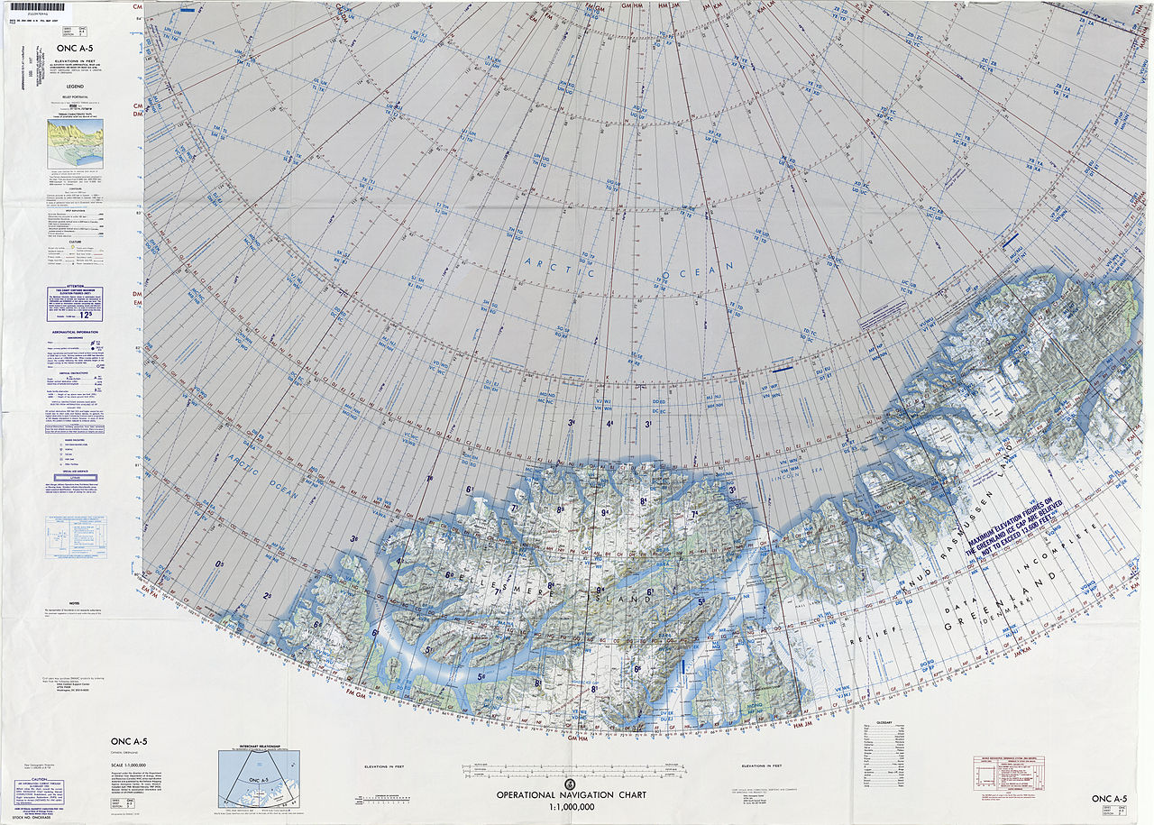
English: 1:1,000,000 scale Operational Navigation Chart, Sheet A-5, 3nd edition.
|
| Datum | |
| Zdroj | |
| Autor | Defense Mapping Agency Aerospace Center, St. Louis, Mo. |
Covers 80N to 88N, 106W to 36W.
-
 Index Map

Licence
| This work is from the Library of Congress. According to the library, there are no known copyright restrictions on the use of this work. |  |
Historie souboru
Kliknutím na datum a čas se zobrazí tehdejší verze souboru.
| Datum a čas | Náhled | Rozměry | Uživatel | Komentář | |
|---|---|---|---|---|---|
| současná | 6. 9. 2014, 18:39 | | 9 254 × 6 613 (15,38 MB) | Revent | User created page with UploadWizard |
Využití souboru
Tento soubor používá následující stránka:
Globální využití souboru
Tento soubor využívají následující wiki:
- Využití na ceb.wikipedia.org
- Využití na de.wikipedia.org
- Využití na en.wikipedia.org
- Hans Island
- United States Range
- Kaffeklubben Island
- Hendrik Island
- Sverdrup Island (Greenland)
- Challenger Mountains
- Warming Land
- Victoria Fjord
- East Jensen Island
- Hazenland
- John Murray Island
- Borup Island
- Cape Morton
- Hans Tausen Ice Cap
- Stephenson Island (Greenland)
- Hall Land
- Kayser Mountain
- Nina Bang Mountain
- Haug Range
- Odin Fjord
- Thor Fjord
- Freja Fjord
- De Long Fjord
- Newman Bay
- Nyeboe Land
- Freuchen Land
- Wulff Land
- Henson Glacier (Greenland)
- Washington Land
- Daugaard-Jensen Land
- Bessel Fjord, NW Greenland
- Hannah Island (Greenland)
- Joe Island (Greenland)
- Saint George Fjord
- Beaumont Island (Greenland)
- Sherard Osborn Fjord
- Ryder Glacier (Greenland)
- Steensby Glacier
- C. H. Ostenfeld Glacier
- Weyprecht Fjord
- Petermann Fjord
- Mount Wistar
- Sands Fjord
- Benedict Fjord
- Castle Island (Greenland)
- Cape Gray, Greenland
Zobrazit další globální využití tohoto souboru.