Soubor:Indonesia Lesser Sunda Islands location map.svg

Původní soubor (soubor SVG, nominální rozměr: 1 323 × 668 pixelů, velikost souboru: 211 KB)
| Tento soubor pochází z Wikimedia Commons. Níže jsou zobrazeny informace, které obsahuje jeho tamější stránka s popisem souboru. |
Popis
| Popis |
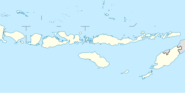
Quadratische Plattkarte, N-S-Streckung 101 %. Geographische Begrenzung der Karte:
Equirectangular projection, N/S stretching 101 %. Geographic limits of the map:
|
||
| Datum | |||
| Zdroj |
Vlastní dílo, using
|
||
| Autor | NordNordWest | ||
| Svolení (Užití tohoto souboru) |
Tento soubor podléhá licenci Creative Commons Uveďte autora-Zachovejte licenci 3.0 Německo
 Tento soubor podléhá licenci Creative Commons Uveďte autora-Zachovejte licenci 3.0 Německo
|
||
| Další verze | Díla odvozená od tohoto souboru: Corvus florensis range map.svg | ||
| SVG vývoj | Tento vektorový obrázek byl vytvořen programem unknown tool
|


Historie souboru
Kliknutím na datum a čas se zobrazí tehdejší verze souboru.
| Datum a čas | Náhled | Rozměry | Uživatel | Komentář | |
|---|---|---|---|---|---|
| současná | 18. 2. 2011, 13:33 | | 1 323 × 668 (211 KB) | NordNordWest | c |
| 19. 2. 2010, 22:08 |  | 1 323 × 668 (277 KB) | NordNordWest | =={{int:filedesc}}== {{Information |Description= {{de|Positionskarte der Kleinen Sunda-Inseln, Indonesien}} Quadratische Plattkarte, N-S-Streckung 101 %. Geographische Begrenzung der Karte: * N: 6.2° S * S: |
Využití souboru
Tento soubor používá následujících 9 stránek:
Globální využití souboru
Tento soubor využívají následující wiki:
- Využití na az.wikipedia.org
- Využití na ban.wikipedia.org
- Využití na ba.wikipedia.org
- Využití na bn.wikipedia.org
- Využití na de.wikipedia.org
- Kuta
- Gili-Inseln
- Flores (Indonesien)
- Sumbawa
- Kupang
- Komodo (Insel)
- Lombokstraße
- Rinjani
- Kelimutu (Berg)
- Lembata
- Waingapu
- Wehali
- Laran
- Borong
- Fatu Sinai
- Sawu
- Solor
- Larantuka
- Labuan Bajo
- Atambua
- Semau
- Egon (Vulkan)
- Adonara
- Gili Meno
- Nusa Penida
- Wikipedia:Kartenwerkstatt/Positionskarten/Asien
- Gili Air
- Pantar (Insel)
- Atapupu
- Mena (Biboki Moenleu)
- Straße von Alor
- Penfui
- Batur (Vulkan)
- Vorlage:Positionskarte Indonesien Kleine Sundainseln
- Moyo (Insel)
- Poco Mandasawu
- Ende (Flores)
- Maumere
- Turiskain
- Padar (Insel)
- Raijua
- Nusa Lembongan
- Jenilu
- Niki-Niki
- Baun (Westtimor)
- Soe (Stadt)
Zobrazit další globální využití tohoto souboru.