Soubor:Grenada relief location map.jpg

Velikost tohoto náhledu: 634 × 599 pixelů. Jiná rozlišení: 254 × 240 pixelů | 508 × 480 pixelů | 813 × 768 pixelů | 1 084 × 1 024 pixelů | 1 435 × 1 356 pixelů.
Původní soubor (1 435 × 1 356 pixelů, velikost souboru: 424 KB, MIME typ: image/jpeg)
| Tento soubor pochází z Wikimedia Commons. Níže jsou zobrazeny informace, které obsahuje jeho tamější stránka s popisem souboru. |
Popis
| Popis |
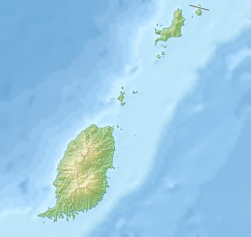
English: Relief location map of Grenada.
|
||
| Datum | |||
| Zdroj | Vlastní dílo | ||
| Autor | Uwe Dedering | ||
| Svolení (Užití tohoto souboru) |
Já, držitel autorských práv k tomuto dílu, ho tímto zveřejňuji za podmínek následujících licencí: Tento soubor podléhá licenci Creative Commons Uveďte autora-Zachovejte licenci 3.0 Unported.
Můžete si zvolit libovolnou z těchto licencí. |
||
| Další verze |
|


Historie souboru
Kliknutím na datum a čas se zobrazí tehdejší verze souboru.
| Datum a čas | Náhled | Rozměry | Uživatel | Komentář | |
|---|---|---|---|---|---|
| současná | 24. 12. 2010, 13:14 | | 1 435 × 1 356 (424 KB) | Uwe Dedering | initial upload |
Využití souboru
Tento soubor používají následující 2 stránky:
Globální využití souboru
Tento soubor využívají následující wiki:
- Využití na ar.wikipedia.org
- Využití na ast.wikipedia.org
- Využití na ba.wikipedia.org
- Využití na bg.wikipedia.org
- Využití na bn.wikipedia.org
- Využití na bs.wikipedia.org
- Využití na ceb.wikipedia.org
- Využití na ce.wikipedia.org
- Využití na ckb.wikipedia.org
- Využití na da.wikipedia.org
- Využití na de.wikipedia.org
- Grenada
- Carriacou
- Mount Saint Catherine
- Petite Martinique
- Vorlage:Positionskarte Grenada
- Wikipedia:Kartenwerkstatt/Positionskarten/Nordamerika
- Benutzer:Uwe Dedering
- Ronde Island
- Lake Antoine
- Grand Etang Lake
- Caille Island
- Diamond Island (Grenada)
- Large Island (Grenada)
- Frigate Island (Carriacou)
- White Island (Grenada)
- Saline Island
- Cassada Rocks
- Mushroom Island (Grenada)
- Sandy Island (Carriacou)
- Mabouya Island
- Sister Rocks (Grenada)
- Bird Island (Grenada)
- Sugarloaf (Grenada)
- Green Island (Grenada)
- Sandy Island (Grenada)
- London Bridge (Grenadinen)
- Bonaparte Rocks
- Rose Rock (Grenada)
- Les Tantes
- Palmiste Lake
- Concord Falls
- Annendale Falls
- Seven Sisters Waterfalls
- St. Margaret Falls
- Tufton Hall Waterfalls
Zobrazit další globální využití tohoto souboru.