Soubor:Europe continents.svg

Velikost tohoto PNG náhledu tohoto SVG souboru: 800 × 520 pixelů. Jiná rozlišení: 320 × 208 pixelů | 640 × 416 pixelů | 1 024 × 666 pixelů | 1 280 × 832 pixelů | 2 560 × 1 664 pixelů.
Původní soubor (soubor SVG, nominální rozměr: 800 × 520 pixelů, velikost souboru: 356 KB)
| Tento soubor pochází z Wikimedia Commons. Níže jsou zobrazeny informace, které obsahuje jeho tamější stránka s popisem souboru. |
Popis
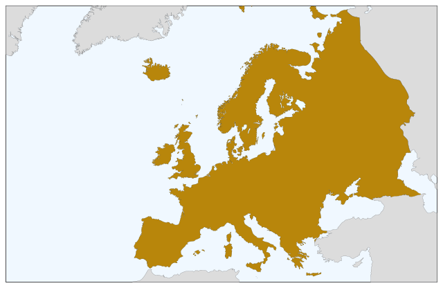
| Popis | Blank map of Europe, showing only the continents. SVG format. |
| Datum | |
| Zdroj |
Tento soubor byl odvozen z: Europe countries.svg:  |
| Autor | Júlio Reis |
Licence
Tento soubor podléhá licenci Creative Commons Uveďte autora-Zachovejte licenci 3.0 Unported
- Dílo smíte:
- šířit – kopírovat, distribuovat a sdělovat veřejnosti
- upravovat – pozměňovat, doplňovat, využívat celé nebo částečně v jiných dílech
- Za těchto podmínek:
- uveďte autora – Máte povinnost uvést autorství, poskytnout odkaz na licenci a uvést, pokud jste provedli změny. Toho můžete docílit jakýmkoli rozumným způsobem, avšak ne způsobem naznačujícím, že by poskytovatel licence schvaloval nebo podporoval vás nebo vaše užití díla.
- zachovejte licenci – Pokud tento materiál jakkoliv upravíte, přepracujete nebo použijete ve svém díle, musíte své příspěvky šířit pod stejnou nebo slučitelnou licencí jako originál.
Historie souboru
Kliknutím na datum a čas se zobrazí tehdejší verze souboru.
| Datum a čas | Náhled | Rozměry | Uživatel | Komentář | |
|---|---|---|---|---|---|
| současná | 5. 9. 2022, 10:04 | | 800 × 520 (356 KB) | Рагин1987 | Correction |
| 30. 8. 2022, 21:35 |  | 2 560 × 1 664 (496 KB) | Рагин1987 | More correct visualization of the dividing line on the territory of the Caucasus Range | |
| 23. 5. 2006, 12:50 |  | 800 × 520 (305 KB) | Tintazul | {{Tintazul| |Description=Blank map of Europe, showing only the continents. SVG format. |Date=19 May 2006 |Source=Image:Europe countries.svg }} Category:Maps of Europe |
Využití souboru
Tento soubor nepoužívá žádná stránka.
Globální využití souboru
Tento soubor využívají následující wiki:
- Využití na sv.wikipedia.org