Soubor:Coloured map of Manchuria.jpg

Původní soubor (1 489 × 2 347 pixelů, velikost souboru: 1,36 MB, MIME typ: image/jpeg)
| Tento soubor pochází z Wikimedia Commons. Níže jsou zobrazeny informace, které obsahuje jeho tamější stránka s popisem souboru. |
Popis
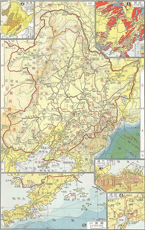
Karte der Mandschurei (Mandschuko); von zh.wikipedia. anscheinend alte japanische Karte, angeblich GNU-FDL
Mapa de Manchuria tomado de de.wikipedia
Licence
According to Japanese Copyright Law (June 1, 2018 grant) the copyright on this work has expired and is as such public domain. According to articles 51, 52, 53 and 57 of the copyright laws of Japan, under the jurisdiction of the Government of Japan works enter the public domain 50 years after the death of the creator (there being multiple creators, the creator who dies last) or 50 years after publication for anonymous or pseudonymous authors or for works whose copyright holder is an organization.
Note: The enforcement of the revised Copyright Act on December 30, 2018 extended the copyright term of works whose copyright was valid on that day to 70 years. Do not use this template for works of the copyright holders who died after 1967. Use {{PD-Japan-oldphoto}} for photos published before December 31, 1956, and {{PD-Japan-film}} for films produced prior to 1953. Public domain works must be out of copyright in both the United States and in the source country of the work in order to be hosted on the Commons. The file must have an additional copyright tag indicating the copyright status in the United States. See also Copyright rules by territory.
|
 |
Historie souboru
Kliknutím na datum a čas se zobrazí tehdejší verze souboru.
| Datum a čas | Náhled | Rozměry | Uživatel | Komentář | |
|---|---|---|---|---|---|
| současná | 19. 3. 2010, 20:39 | | 1 489 × 2 347 (1,36 MB) | Vajotwo | Removed borders |
| 28. 7. 2007, 11:28 |  | 1 592 × 2 441 (3,35 MB) | Rottweiler | ||
| 3. 12. 2005, 07:55 |  | 1 575 × 2 430 (620 KB) | Mnts | Karte der Mandschurei (Mandschuko); von zh.wikipedia. anscheinend alte japanische Karte, angeblich GNU-FDL Mapa de Manchuria tomado de de.wikipedia [http://de.wikipedia.org/wiki/Bild:Manchuria.jpg] |
Využití souboru
Tento soubor používá následující stránka:
Globální využití souboru
Tento soubor využívají následující wiki:
- Využití na azb.wikipedia.org
- Využití na be.wikipedia.org
- Využití na da.wikipedia.org
- Využití na de.wikipedia.org
- Využití na en.wikipedia.org
- Využití na eo.wikipedia.org
- Využití na it.wikipedia.org
- Využití na ja.wikipedia.org
- Využití na ko.wikipedia.org
- Využití na ku.wikipedia.org
- Využití na nl.wikipedia.org
- Využití na ru.wikipedia.org
- Využití na tr.wikipedia.org
- Využití na zh.wikipedia.org