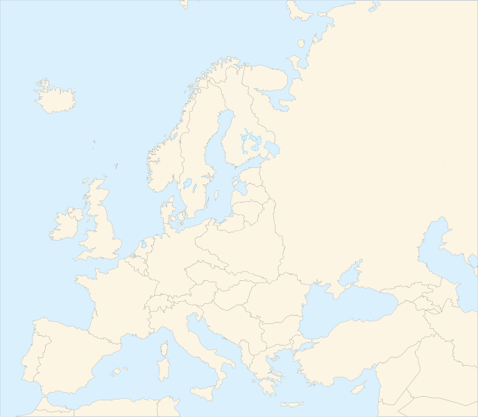
Soubor:Blank map of Europe in 1920.svg

Velikost tohoto PNG náhledu tohoto SVG souboru: 689 × 600 pixelů. Jiná rozlišení: 276 × 240 pixelů | 552 × 480 pixelů | 882 × 768 pixelů | 1 177 × 1 024 pixelů | 2 353 × 2 048 pixelů | 841 × 732 pixelů.
Původní soubor (soubor SVG, nominální rozměr: 841 × 732 pixelů, velikost souboru: 541 KB)
| Tento soubor pochází z Wikimedia Commons. Níže jsou zobrazeny informace, které obsahuje jeho tamější stránka s popisem souboru. |
| Popis |
Français : Carte vierge de l'Europe en 1920, couleurs Atelier Graphique English: Blank map of Europe in 1920 with Atelier graphique colors |
| Datum | (UTC) |
| Zdroj | |
| Autor |
|
| Další verze |
Díla odvozená od tohoto souboru: |
| Toto je upravený obrázek, což znamená, že byl oproti původní verzi digitálně změněn. Úpravy: shifted borders to 1920. Původní verzi je možné zhlédnout zde: Blank map of Europe - Atelier graphique colors.svg.
|

Tento soubor podléhá licenci Creative Commons Uveďte autora-Zachovejte licenci 3.0 Unported
- Dílo smíte:
- šířit – kopírovat, distribuovat a sdělovat veřejnosti
- upravovat – pozměňovat, doplňovat, využívat celé nebo částečně v jiných dílech
- Za těchto podmínek:
- uveďte autora – Máte povinnost uvést autorství, poskytnout odkaz na licenci a uvést, pokud jste provedli změny. Toho můžete docílit jakýmkoli rozumným způsobem, avšak ne způsobem naznačujícím, že by poskytovatel licence schvaloval nebo podporoval vás nebo vaše užití díla.
- zachovejte licenci – Pokud tento materiál jakkoliv upravíte, přepracujete nebo použijete ve svém díle, musíte své příspěvky šířit pod stejnou nebo slučitelnou licencí jako originál.

|
Tento soubor ve formátu SVG obsahuje vložený text či texty, které lze přeložit do češtiny. K překladu je možné použít některé vektorové editory, textový editor nebo nástroj SVG Překladač. Pro více informací navštivte Nápovědu k překladům souborů SVG. |
Původní historie souboru
This image is a derivative work of the following images:
- Image:Blank_map_of_Europe_-_Atelier_graphique_colors.svg licensed with Cc-by-sa-2.5,2.0,1.0, GFDL
- 2007-09-16T15:08:27Z Historicair 841x731 (495651 Bytes) '
- 2007-09-13T16:36:42Z Historicair 841x731 (495370 Bytes) {{Information |Description={{fr|Carte vierge de l'Europe, couleurs Atelier Graphique}} {{en|Blank map of Europe with Atelier graphique colors}} |Source=[[:Image:Europe countries.svg]] by [[User:Tintazul|Tintazul]] |Date=13/09
Uploaded with derivativeFX
Historie souboru
Kliknutím na datum a čas se zobrazí tehdejší verze souboru.
| Datum a čas | Náhled | Rozměry | Uživatel | Komentář | |
|---|---|---|---|---|---|
| současná | 20. 8. 2010, 06:42 | | 841 × 732 (541 KB) | Editor at Large | Reverted to version as of 16:11, 23 June 2008 - error in file |
| 20. 8. 2010, 03:30 |  | 689 × 600 (2 KB) | Maps & Lucy | Fixed serious error with Baltic Sea on the German border with it, fixed the border of Germany with Poland, fixed the border of Poland with the Russian SFSR, and corrected the assimulation of three southern Caucasus countries which had been assimulated int | |
| 23. 6. 2008, 18:11 |  | 841 × 732 (541 KB) | Themightyquill | ||
| 16. 6. 2008, 17:46 |  | 841 × 732 (534 KB) | Themightyquill | ||
| 16. 6. 2008, 17:27 |  | 841 × 732 (531 KB) | Themightyquill | ||
| 16. 6. 2008, 04:32 |  | 841 × 732 (562 KB) | Themightyquill | {{Information |Description={{fr|Carte vierge de l'Europe en 1920, couleurs Atelier Graphique}} {{en|Blank map of Europe in 1920 with Atelier graphique colors}} |Source=*Image:Blank_map_of_Europe_-_Atelier_graphique_colors.svg |Date=2008-06-16 02:31 |
Využití souboru
Tento soubor používá následující stránka:
Globální využití souboru
Tento soubor využívají následující wiki:
- Využití na en.wikipedia.org