Soubor:Antigua and Barbuda location map Topographic.png
Velikost tohoto náhledu: 521 × 599 pixelů. Jiná rozlišení: 209 × 240 pixelů | 417 × 480 pixelů | 668 × 768 pixelů | 1 111 × 1 278 pixelů.
Původní soubor (1 111 × 1 278 pixelů, velikost souboru: 300 KB, MIME typ: image/png)
| Tento soubor pochází z Wikimedia Commons. Níže jsou zobrazeny informace, které obsahuje jeho tamější stránka s popisem souboru. |
Popis
| Popis |
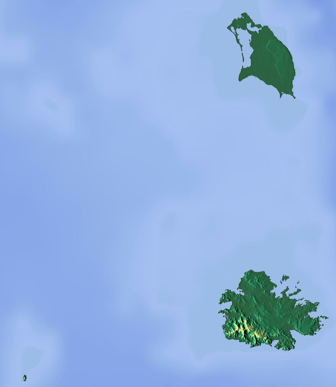
Deutsch: Positionskarte von Antigua und Barbuda. Geographische Begrenzungen der Karte:
English: Location map of Antigua and Barbuda. Geographic limits of the map:
|
| Datum | |
| Zdroj | Vlastní dílo (backgroung : http://www.maps-for-free.com) |
| Autor | Dr Brains |
Licence
Já, držitel autorských práv k tomuto dílu, ho tímto zveřejňuji za podmínek následujících licencí:

|
Tento dokument smí být kopírován, šířen nebo upravován podle podmínek Svobodné licence GNU pro dokumenty výhradně verze 1.2 publikované nadací Free Software Foundation. Dokument nemá neměnné části ani texty na předním či zadním přebalu. Kopie textu licence je k dispozici v oddíle nazvaném GNU Free Documentation License. | jen 1.2 |
|
|
Tento dokument smí být kopírován, šířen nebo upravován podle podmínek Svobodné licence GNU pro dokumenty verze 1.3 nebo libovolné vyšší verze publikované nadací Free Software Foundation. Dokument nemá neměnné části ani texty na předním či zadním přebalu. Kopie textu licence je k dispozici v oddíle nazvaném GNU Free Documentation License.
|
Můžete si zvolit libovolnou z těchto licencí.
Historie souboru
Kliknutím na datum a čas se zobrazí tehdejší verze souboru.
| Datum a čas | Náhled | Rozměry | Uživatel | Komentář | |
|---|---|---|---|---|---|
| současná | 13. 6. 2012, 18:46 | | 1 111 × 1 278 (300 KB) | Dr Brains |
Využití souboru
Tento soubor používají následující 2 stránky:
Globální využití souboru
Tento soubor využívají následující wiki:
- Využití na ar.wikipedia.org
- Využití na ast.wikipedia.org
- Využití na be.wikipedia.org
- Využití na bg.wikipedia.org
- Využití na bn.wikipedia.org
- Využití na bs.wikipedia.org
- Využití na ceb.wikipedia.org
- Využití na el.wikipedia.org
- Využití na en.wikipedia.org
- Redonda
- Antigua
- Prickly Pear Island
- Great Bird Island (Antigua and Barbuda)
- Crump Island
- Guiana Island
- Long Island (Antigua and Barbuda)
- Green Island (Antigua and Barbuda)
- Boggy Peak
- Codrington Lagoon
- Pelican Island (Antigua and Barbuda)
- Gravenor Bay
- McKinnon's Pond
- Module:Location map/data/Antigua and Barbuda/doc
- Antigua Formation
- Central Plain Group
- Highlands Formation
- List of fossiliferous stratigraphic units in the Caribbean
- Codrington Island
- Hell's Gate Island
- Maiden Island (Antigua and Barbuda)
- 1974 Lesser Antilles earthquake
- Module:Location map/data/Antigua and Barbuda
- User:Ty654/List of earthquakes from 1950-1999 exceeding magnitude 7+
- User:Ty654/List of earthquakes from 1960-1964 exceeding magnitude 6+
- Antigua Naval Dockyard and Related Archaeological Sites
- Využití na eo.wikipedia.org
- Využití na fa.wikipedia.org
Zobrazit další globální využití tohoto souboru.