Soubor:Vis Bisevo satelite.gif
Větší rozlišení není k dispozici
Vis_Bisevo_satelite.gif (734 × 510 pixelů, velikost souboru: 218 KB, MIME typ: image/gif)
| Tento soubor pochází z Wikimedia Commons. Níže jsou zobrazeny informace, které obsahuje jeho tamější stránka s popisem souboru. |
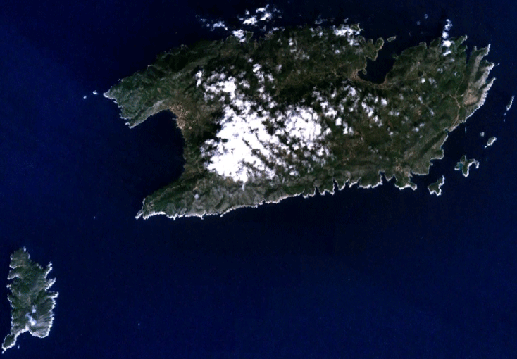
Satelite image of islands and .
| This image is in the public domain because it is a screenshot from NASA’s globe software World Wind using a public domain layer, such as Blue Marble, MODIS, Landsat, SRTM, USGS or GLOBE.
|
 |
Historie souboru
Kliknutím na datum a čas se zobrazí tehdejší verze souboru.
| Datum a čas | Náhled | Rozměry | Uživatel | Komentář | |
|---|---|---|---|---|---|
| současná | 17. 9. 2006, 18:44 | | 734 × 510 (218 KB) | Dijxtra~commonswiki | Satelite image of islands Vis and Biševo. {{PD-WorldWind}} Category:Satelite images of islands of Croatia |
Využití souboru
Tento soubor používá následující stránka:
Globální využití souboru
Tento soubor využívají následující wiki:
- Využití na arz.wikipedia.org
- Využití na ceb.wikipedia.org
- Využití na da.wikipedia.org
- Využití na de.wikipedia.org
- Využití na el.wikipedia.org
- Využití na eo.wikipedia.org
- Využití na es.wikipedia.org
- Využití na fa.wikipedia.org
- Využití na hr.wikipedia.org
- Využití na it.wikipedia.org
- Využití na mk.wikipedia.org
- Využití na nn.wikipedia.org
- Využití na no.wikipedia.org
- Využití na pl.wikipedia.org
- Využití na pt.wikipedia.org
- Využití na ru.wikipedia.org
- Využití na sh.wikipedia.org
- Využití na sl.wikipedia.org
- Využití na sv.wikipedia.org
- Využití na uk.wikipedia.org
- Využití na www.wikidata.org