Soubor:Lake Pend Oreille.jpg

Velikost tohoto náhledu: 800 × 534 pixelů. Jiná rozlišení: 320 × 214 pixelů | 640 × 427 pixelů | 1 024 × 683 pixelů | 1 500 × 1 001 pixelů.
Původní soubor (1 500 × 1 001 pixelů, velikost souboru: 357 KB, MIME typ: image/jpeg)
| Tento soubor pochází z Wikimedia Commons. Níže jsou zobrazeny informace, které obsahuje jeho tamější stránka s popisem souboru. |
Popis
| Popis |
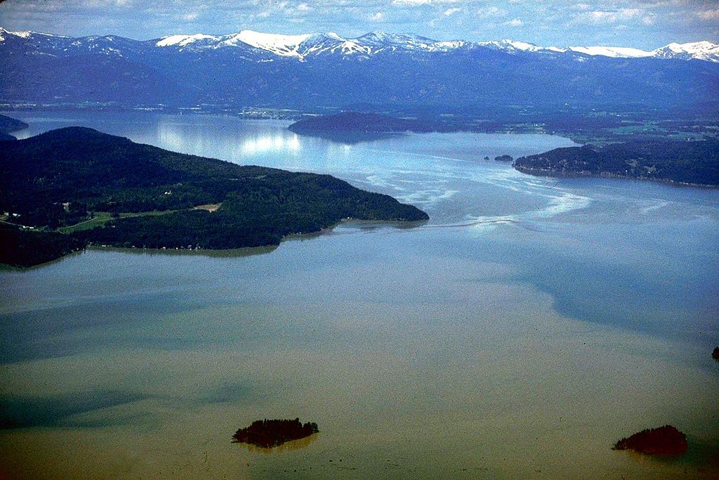
English: Aerial view of Lake Pend Oreille on the Pend Oreille River in 1993. |
|||
| Umístění | Bonner County, Idaho, USA 48°11′0.55″N 116°20′42.77″W / 48.1834861°N 116.3452139°W |
|||
| Datum | ||||
| Zdroj |
U.S. Army Corps of Engineers Digital Visual Library Image page Image description page Digital Visual Library home page |
|||
| Autor | U.S. Army Corps of Engineers, photographer not specified or unknown | |||
| Svolení (Užití tohoto souboru) |
|
Historie souboru
Kliknutím na datum a čas se zobrazí tehdejší verze souboru.
| Datum a čas | Náhled | Rozměry | Uživatel | Komentář | |
|---|---|---|---|---|---|
| současná | 31. 8. 2009, 22:40 | | 1 500 × 1 001 (357 KB) | Martin H. | from File:Lake Pend Oreille.jpg, per uploaders request on COM:HD. |
| 17. 4. 2007, 05:48 |  | 1 500 × 1 001 (625 KB) | DanMS | {{Information2 | Description = {{en|Aerial view of Lake Pend Oreille on the Pend Oreille River in 1993.}} | Source = U.S. Army Corps of Engineers Digital Visual Library<br />[http://images.usace.army.mil/images/Hires/4900-29.Jpg Image page]<br |
Využití souboru
Tento soubor používá následující stránka:
Globální využití souboru
Tento soubor využívají následující wiki:
- Využití na ar.wikipedia.org
- Využití na arz.wikipedia.org
- Využití na ceb.wikipedia.org
- Využití na de.wikipedia.org
- Využití na en.wikipedia.org
- Využití na es.wikipedia.org
- Využití na et.wikipedia.org
- Využití na fr.wikipedia.org
- Využití na id.wikipedia.org
- Využití na it.wikipedia.org
- Využití na nl.wikipedia.org
- Využití na pl.wikipedia.org
- Využití na ru.wikipedia.org
- Využití na sr.wikipedia.org
- Využití na www.wikidata.org
- Využití na xmf.wikipedia.org
- Využití na zh.wikipedia.org